Clay County NC Property Appraiser – Search Property Records Online
Clay County, North Carolina, there are 16,948 parcels available for public property lookup. Users can search records using parcel number, property owner name, or physical address to instantly access ownership details, tax data, and complete property information online.
Property Tax Calculator
Calculate Any County Property Tax in North Carolina
Transfer Fee Calculator
Calculate Any County Property Transfer Tax in North Carolina
Property Tax Rates and guide
North Carolina All Counties Property Tax Rates and guide
Counties Maps and Zoning
North Carolina All Counties Maps and Zoning Guide
All NC Counties Property News
North Carolina Property News and Trend Updates By County
Clay County, North Carolina’s property records system is maintained through updated parcel mapping and assessment datasets available for public access. The county currently manages 16,948 parcels along with 13,997 matched buildings, supported by aerial imagery collected between 2010 and 2023. Address databases were refreshed on January 1, 2026, identifying 10,439 secondary addresses across the county. Standardized zoning information ensures consistent property classification, improving assessment accuracy, parcel tracking, and tax administration throughout Clay County.
Clay County, North Carolina Property Overview – 2026
Clay County includes 7,066 residential properties and 13 commercial properties. The average single-family home age is 37 years, with an average living space of 1,994 square feet. During 2026, the county recorded 28 residential sales, while only 0.33% of homes were considered seriously underwater. The effective property tax rate is approximately 0.21%, reflecting relatively low taxation compared to many regions.
Residential Properties
7,066
Commercial Properties
13
Avg. Home Age Single Family
37 Years
Avg. Square Feet Single Family
1,994 sq. ft
Residential Sales 2026
28
Homes Seriously Underwater
0.33%
Residential Sales past year
245
Rich Homes percentage
31.97%
Effective 2026 Property Tax
0.21%
Total Foreclosure Filings 2025
1
Nearby Counties – Clay County
Clay County is surrounded by Cherokee, Graham, Union, and Macon counties, enhancing regional connectivity, access to essential services, and economic collaboration, making travel, business activities, and community engagement more convenient for residents and visitors.
Top Cities in Clay County
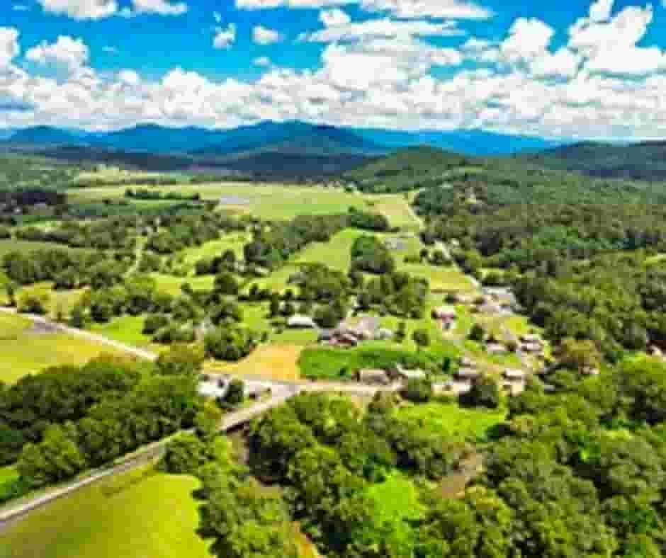
The leading communities within Clay County include Hayesville, Warne, and Brasstown, which represent key residential and rural property areas. These locations support the county’s housing growth, land management planning, and property valuation activities. With scenic mountain landscapes, established neighborhoods, and developing residential areas, these towns play an important role in parcel management and taxation records maintained by the county offices.

Hayesville
20915 Parcel
Warne
8476 Parcel
Brasstown
4804 Parcel
Clay County NC Property Search Tool Has 4 Best Methods
Our Clay County, North Carolina Property Search Tool allows residents and researchers to quickly find property records online at no cost. Search using owner name, parcel identification number, property address, or city name to view ownership history, tax details, valuation data, and full property reports instantly.
Search By Owner Name
Use a property owner’s name to locate ownership records within Clay County, North Carolina databases.
Search By Address
Enter a property address to retrieve location-based property details and assessment information in Clay County.
Search By Parcel PIN
Parcel numbers provide the most accurate method for identifying specific properties within Clay County records.
Search By City Name
If other details are unavailable, searching by city name helps narrow results within Clay County listings.
Clay County NC Property Search Tool Provides Information
The Clay County, North Carolina Property Search Tool offers detailed property insights for every lookup. Users can search by owner name, parcel number, or address to access ownership records, tax assessments, land valuations, parcel data, and official county property information needed for accurate real-estate research.
Parcel Number
Clay County parcel number uniquely identifies each property record for ownership tracking, taxation, mapping, and assessment purposes.
Owner Name
Clay County owner name displays legally recorded property ownership information according to official county public record databases.
Full Site Address
Clay County full site address provides complete property location details for identification, verification, navigation, and official documentation accuracy.
Site Address City
Clay County site address city identifies the municipality jurisdiction responsible for services, zoning regulations, and administrative property oversight.
Site Address Zip
Clay County site address zip specifies postal code information supporting geographic classification, mailing delivery accuracy, and regional property organization.
Mailing Address
Clay County mailing address lists owner contact location used for tax bills, notices, and official property communications delivery.
Land Value
Clay County land value reflects assessed market worth of land only, excluding structures, used for taxation calculations.
Improved Value
Clay County improved value represents assessed worth of buildings or improvements constructed on the property parcel location.
Parcel Value
Clay County parcel value combines land and improvement assessments to determine taxable value and estimated property worth.
GIS Acres
Clay County GIS acres indicate land size measured through geographic mapping systems for accurate property analysis calculations.
Structure Year
Clay County structure year shows original construction date helping evaluate property age, depreciation, and maintenance expectations accurately.
Last Sale Date
Clay County last sale date records most recent ownership transfer, assisting market research and transaction history verification processes.
Tax Parcel Use Code
Clay County tax parcel use code describes classification category determining property taxation rules, zoning compliance, and permitted usage.
Full Legal Description
Clay County full legal description defines property boundaries using official survey language required for deeds and legal identification.
County Name
Clay County name identifies governing authority responsible for maintaining property records, assessments, taxation systems, and administrative oversight.
Clay County, North Carolina Cities & Communities Overview
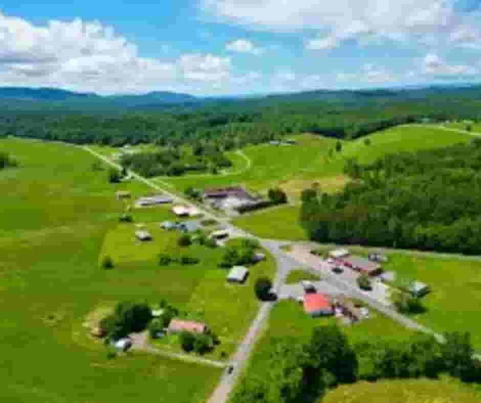
Clay County, North Carolina includes a mix of incorporated towns and rural communities known for mountain scenery, cultural heritage, outdoor recreation, and peaceful residential living environments across the county region.
| Sr. No | Area / Community | Type | Key Features |
|---|---|---|---|
| 1 | Hayesville | Incorporated Town | County seat and only official town, featuring historic buildings, local businesses, and main shopping areas. |
| 2 | Brasstown | Unincorporated | Known for John C. Campbell Folk School, a regional center for traditional arts, crafts, and cultural education. |
| 3 | Warne | Unincorporated | Quiet rural community near the Georgia border, popular for peaceful living and scenic countryside surroundings. |
| 4 | Shooting Creek | Unincorporated | Famous for mountain landscapes, outdoor recreation, and trout fishing opportunities attracting nature enthusiasts. |
| 5 | Tusquittee | Unincorporated | Home to Tusquittee Bald area, recognized for farming land, hiking trails, and natural mountain beauty. |
| 6 | Elf | Unincorporated | Located along Lake Chatuge shoreline, popular for boating activities, lakefront views, and outdoor relaxation. |
FAQs
How can I search property records in Clay County, NC?
You can use the Clay County property search tool to find records by owner name, parcel number, or property address. It provides ownership details, tax information, and assessment data online.
Where can I find the Clay County NC jail inmate list or mugshots?
The Clay County Sheriff’s Office maintains inmate records and jail information. Visit the official sheriff website or contact the detention center for current inmate listings and booking details.
What is the population of Clay County, North Carolina?
Clay County is a small mountain county with an estimated population of around 11,000 residents, known for rural communities and scenic Appalachian landscapes
How do I access Clay County NC GIS maps?
Clay County GIS maps are available online and allow users to view parcel boundaries, zoning information, aerial imagery, and property locations through an interactive mapping system.
What schools are part of Clay County NC Schools?
Clay County Schools include elementary, middle, and high school institutions serving local communities, providing public education programs, athletics, and academic services across the county.