Gates County NC Property Appraiser – Search Your Record Checker
Gates County, North Carolina, there are 7,969 parcels available for public property searches. Users can locate records using parcel number, owner name, or property address. Enter parcel IDs carefully with spaces to view ownership, tax, and property assessment details instantly.
Property Tax Calculator
Calculate Any County Property Tax in North Carolina
Transfer Fee Calculator
Calculate Any County Property Transfer Tax in North Carolina
Property Tax Rates and guide
North Carolina All Counties Property Tax Rates and guide
Counties Maps and Zoning
North Carolina All Counties Maps and Zoning Guide
All NC Counties Property News
North Carolina Property News and Trend Updates By County
Gates County, North Carolina, the County Assessor’s office maintains and updates detailed parcel information for public access and transparency. The county currently manages 7,969 parcels and 13,535 matched buildings, supported by aerial imagery collected from 2010, 2014, 2020, 2021, and 2022. Address databases were refreshed on January 1, 2026, identifying 7,415 secondary addresses throughout the county. Additionally, zoning classifications have been standardized for 7,956 parcels, improving accuracy for property valuation, taxation records, and land-use management across Gates County.
Gates County, North Carolina Property Overview – 2026
Gates County includes 4,729 residential properties and 530 commercial properties. The average single-family home age is 59 years, with an average size of 1,972 square feet. In 2026, the county recorded 17 residential sales, while 0.78% of homes remain seriously underwater. The effective property tax rate is approximately 0.51%.
Residential Properties
4,729
Commercial Properties
530
Avg. Home Age Single Family
59 Years
Avg. Square Feet Single Family
1,972 sq. ft
Residential Sales 2026
17
Homes Seriously Underwater
0.78%
Residential Sales past year
135
Rich Homes percentage
25.27%
Effective 2026 Property Tax
0.51%
Total Foreclosure Filings 2025
2
Nearby Counties –Gates County
Gates County is surrounded by Perquimans, Pasquotank, Franklin City, and Hertford, providing strong regional access to public records, local services, and efficient data searches for residents, researchers, and legal purposes.
Top Communities in Gates County
The most recognized communities within Gates County include Gatesville, Sunbury, and Eure, which serve as the county’s primary residential and administrative centers. These areas represent important hubs for housing development, agricultural land use, and local commerce. A blend of rural landscapes and established neighborhoods contributes significantly to parcel tracking, zoning administration, and countywide property assessment operations.
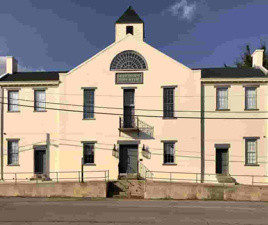
Gatesville
20915 Parcel

Sunbury
8476 Parcel

Eure
4804 Parcel
Gates County NC Property Search Tool Has 4 Best Methods
Gates County, North Carolina Property Search Tool allows users to access property records online quickly and without cost. Searches can be completed using owner name, parcel identification number (PIN), property address, or city/community name. Users can instantly review ownership history, tax information, assessment values, and detailed parcel records within seconds
Search By Owner Name
Use owner names to locate property ownership records within Gates County, North Carolina public databases.
Search By Address
Search property details using a full street address anywhere within Gates County, North Carolina boundaries.
Search By Parcel PIN
Enter the parcel identification number for precise property record searches in Gates County, North Carolina systems.
Search By City Name
If limited information is available, search Gates County properties using community or city names in address fields.
Gates County NC Property Search Tool Provides Information
The Gates County, North Carolina Property Search Tool offers detailed property insights for every lookup performed. By searching with owner name, parcel number, or address, users gain access to ownership records, tax data, land assessments, valuation details, and official county property information necessary for reliable real estate research.
Parcel Number
Gates County parcel number uniquely identifies properties, linking ownership records, tax data, parcel maps, and assessments.
Owner Name
Gates County owner name records display legally registered property holders based on official public property documentation.
Full Site Address
Gates County full site address identifies property location precisely using street details for verification and navigation.
Site Address City
Gates County site address city specifies municipality jurisdiction, helping users understand administrative boundaries and service regions.
Site Address Zip
Gates County site address zip code ensures accurate mailing, geographic classification, and regional property identification processes.
Mailing Address
Gates County mailing address lists owner contact location used for tax notices and official correspondence delivery.
Land Value
Gates County land value represents assessed worth of land only, excluding buildings or structural property improvements.
Improved Value
Gates County improved value shows assessed valuation of structures and developments built directly upon the property.
Parcel Value
Gates County improved value shows assessed valuation of structures and developments built directly upon the property.
GIS Acres
Gates County GIS acres measure total land size calculated through geographic mapping systems for accurate analysis.
Structure Year
Gates County structure year indicates original construction date, helping estimate property age and maintenance expectations.
Last Sale Date
Gates County last sale date records most recent ownership transfer, supporting market trend and history tracking.
Tax Parcel Use Code
Gates County tax parcel use code description defines classification categories affecting taxation rates and permitted land usage.
Full Legal Description
Gates County full legal description outlines official property boundary wording used in deeds and legal documentation.
County Name
Gates County name identifies governing authority responsible for maintaining property assessments, taxation records, and administrative oversight.
Gates County North Carolina Municipal Tax Rates and Community Population Overview
Gates County municipalities and communities property tax and demographic summary, presenting estimated population, geographic area, local millage rates, and median property tax bill ranges to help users compare taxation levels across towns and the overall county region.
| City / Town Name | Total Population (Est.) | Area (Sq Mi) | Millage Rate (per $100) | Median Tax Bill (Est.) |
|---|---|---|---|---|
| Gatesville (Town) | 260 | ~0.5 | $1.08* | $1,500 - $2,000 |
| Sunbury (CDP) | 258 | 2.45 | $1.04 | $800 - $1,499 |
| Gates County (Overall) | 10,189 | 340.6 | $1.03 | $1,215 |
FAQs
How can I use the Gates County, NC GIS to view property maps?
You can access the Gates County, NC GIS system online to view parcel boundaries, property locations, zoning information, aerial imagery, and land ownership details. Simply search using an address, parcel number, or owner name to explore interactive property maps.
How do I perform a Gates County, NC property search online?
A Gates County property search can be completed using the county’s property lookup tools. Users can search by owner name, parcel ID, or property address to view ownership records, tax assessments, valuation data, and property history information.
What cities and communities are located in Gates County, North Carolina?
Gates County includes several communities such as Gatesville (county seat), Sunbury, Eure, Corapeake, and Hobbsville. These areas consist mainly of rural residential neighborhoods, farmland, and small local business districts within the county.
What is the population and ZIP code coverage of Gates County, NC?
Gates County has an estimated population of about 10,000 residents. Common ZIP codes serving the county include 27937 (Gatesville), 27979 (Sunbury), and nearby surrounding rural postal areas depending on community location.
How can I search Gates County property tax records or Register of Deeds documents?
You can search Gates County property tax records through the county tax office website, while land records, deeds, and official filings are available through the Gates County Register of Deeds online system. Searches typically require a name, parcel number, or recorded document reference.