Dare County NC Property Records Search & Appraiser Lookup 2026
Dare County, North Carolina, provides access to 40,427 public property parcels through an easy-to-use property records search tool. Users can quickly search by parcel number, owner name, or property address to view ownership history, assessed values, tax information, and parcel details. (For example, Parcel Number 012540000 ) can be searched to access available property assessment records instantly.
Property Tax Calculator
Calculate Any County Property Tax in North Carolina
Transfer Fee Calculator
Calculate Any County Property Transfer Tax in North Carolina
Property Tax Rates and guide
North Carolina All Counties Property Tax Rates and guide
Counties Maps and Zoning
North Carolina All Counties Maps and Zoning Guide
All NC Counties Property News
North Carolina Property News and Trend Updates By County
Dare County, North Carolina’s Property Appraiser office maintains and updates detailed parcel datasets for public access and transparency. The county currently manages 40,427 parcels along with 41,973 matched structures using aerial imagery and verified land records. Address databases were recently refreshed, identifying 37,673 secondary addresses across the county. Zoning classifications have been standardized for 40,413 parcels, helping ensure reliable assessments, organized parcel mapping, and accurate tax roll administration throughout Dare County.
Dare County, NC Property Records Office Contact Information
| Information | Details |
|---|---|
| Office Address | 954 Marshall C. Collins Drive, P.O. Box 1000, Manteo, NC 27954 |
| Main Contact Number | 252-475-5000 |
| Official Email Address | landrecords@darenc.gov |
| Office Hours | Monday through Friday, 8:30 a.m. to 5:00 p.m. |
| Official Website | Dare County Official Website |
Dare County, NC Real Estate Market Trends & Property Statistics
Explore interactive Dare County, North Carolina real estate trends, including median home prices, down payments, homes sold, loan activity, foreclosure filings, and local property values. This dashboard helps buyers, investors, and property owners understand current housing market conditions and recent real estate activity across Dare County communities.
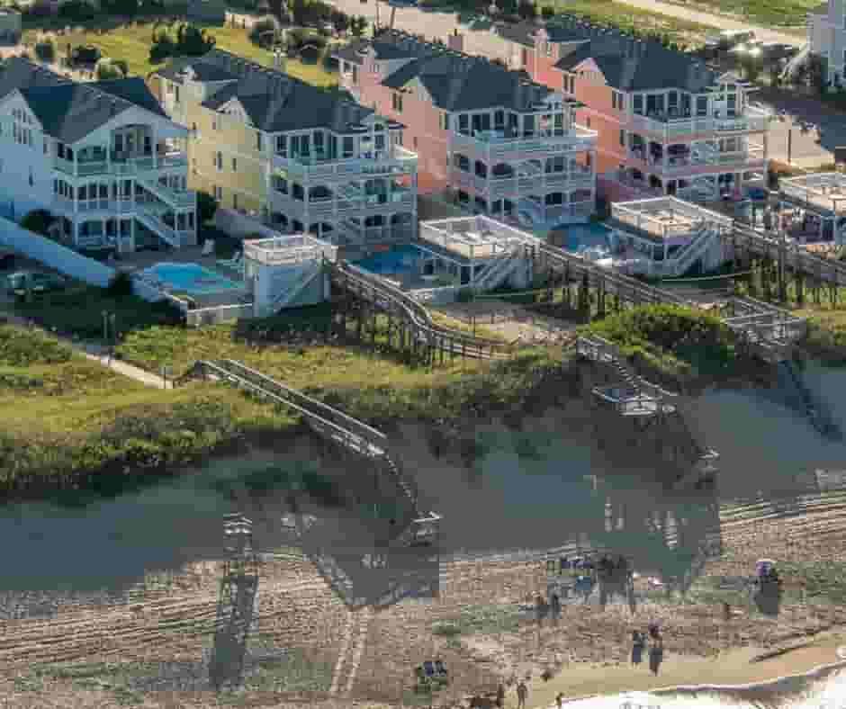
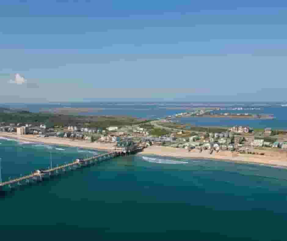
Dare County, NC Property Overview – 2026
Dare County, North Carolina, continues to attract buyers with strong coastal property demand, rising home values, and competitive real estate activity in the Outer Banks region. Property owners can access parcel records, tax assessments, GIS maps, and ownership details online, while increased housing inventory in 2026 is creating more opportunities for buyers and investors.
Residential Properties
35641
Commercial Properties
2458
Avg. Home Age Single Family
35 Years
Avg. Square Feet Single Family
1987 sq. ft
Residential Sales 2026
145
Homes Seriously Underwater
0.53%
Residential Sales past year
1,415
Rich Homes percentage
39.27%
Effective 2026 Property Tax
0.38%
Total Foreclosure Filings 2025
4
Nearby Counties –Dare County
Dare County connects strategically with nearby counties including Hyde, Tyrrell, Carteret, and Washington, enhancing regional access, coastal tourism, and administrative services while supporting local communities, economic growth, and efficient inter-county connectivity.
Dare County, NC ZIP Codes
Dare County, NC ZIP code chart includes major cities and coastal communities like Avon, Duck, Manteo, and Nags Head. This table helps users quickly identify ZIP codes, towns, and mailing areas across Dare County.
| ZIP Code | City / Town | County |
|---|---|---|
| 27915 | Avon | Dare County |
| 27920 | Buxton | Dare County |
| 27936 | Frisco | Dare County |
| 27943 | Hatteras | Dare County |
| 27948 | Kill Devil Hills | Dare County |
| 27949 | Duck | Dare County |
| 27949 | Kitty Hawk | Dare County |
| 27949 | Southern Shores | Dare County |
| 27953 | East Lake | Dare County |
| 27953 | Manns Harbor | Dare County |
| 27954 | Manteo | Dare County |
| 27959 | Nags Head | Dare County |
| 27968 | Rodanthe | Dare County |
| 27972 | Salvo | Dare County |
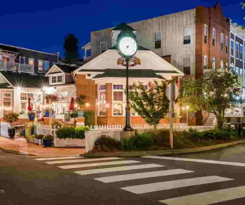
Top Cities in Dare County
The leading communities in Dare County include Kill Devil Hills, Nags Head, and Manteo, which represent major residential and tourism-driven property areas. These locations combine coastal neighborhoods, vacation developments, and established communities, contributing heavily to parcel tracking, zoning oversight, and valuation activities managed by the county property office.
Kill Devil Hills
9877 Parcel
Nags Head
5283 Parcel
Manteo
3686 Parcel
Dare County NC Property Search Tool Has 4 Best Methods
Dare County, North Carolina Property Search Tool allows users to access property information online at no cost. Searches can be performed using owner name, parcel identification number (PIN), property address, or city name. Instantly review ownership records, valuation data, tax history, and complete property information within seconds.
Search By Owner Name
Use the owner’s legal name to locate property records within Dare County, North Carolina quickly.
Search By Address
Enter a property address to retrieve ownership details and assessment information in Dare County NC.
Search By Parcel PIN
Search using the parcel identification number for precise property record results in Dare County.
Search By City Name
If other details are unavailable, search using a Dare County city name within the address field.
Dare County NC Property Search Tool Provides Information
The Dare County Property Search Tool offers detailed property insights with every lookup. Users can search using owner name, parcel number, or address to view ownership data, tax assessments, land values, sales history, and official county appraisal records for informed property research.
Parcel Number
Dare County parcel number uniquely identifies properties, helping users locate ownership records, tax details, maps, and assessments.
Owner Name
Dare County owner name field displays legally recorded property ownership information from official county public records databases.
Full Site Address
Dare County full site address shows complete property location details for accurate identification and verification purposes.
Site Address City
Dare County site address city identifies municipal jurisdiction, assisting users with local governance and service boundary understanding.
Site Address Zip
Dare County ZIP code field provides postal classification supporting mailing accuracy and geographic organization within property databases.
Mailing Address
Dare County mailing address lists official owner contact information used for tax notices and legal correspondence delivery.
Land Value
Dare County land value represents assessed worth of land excluding structures for taxation and valuation calculations purposes.
Improved Value
Dare County improved value indicates assessed value of buildings and property improvements affecting total property valuation amounts.
Parcel Value
Dare County parcel value combines land and improvement assessments used to calculate taxes and overall property worth.
GIS Acres
Dare County GIS acres measurement shows total land size calculated using geographic mapping systems for accuracy.
Structure Year
Dare County structure year identifies original construction date helping determine building age and maintenance considerations.
Last Sale Date
Dare County last sale date records most recent property transaction useful for ownership history and market analysis.
Tax Parcel Use Code
Dare County tax parcel use code describes property classification impacting taxation rules and applicable regulatory standards.
Full Legal Description
Dare County full legal description defines official property boundaries used in deeds, surveys, and legal documentation.
County Name
Dare County name identifies governing authority responsible for taxation, assessments, and property record administration services.
Dare County, North Carolina City Tax Rates and Population Overview
Dare County municipalities property tax and demographic summary showing estimated population, land size, local tax rates, and typical median property tax bills across incorporated coastal towns and communities.
| City / Town Name | Total Population (Est.) | Area (Sq Mi) | City Tax Rate (per $100) | Median Tax Bill (Est.) |
|---|---|---|---|---|
| Kill Devil Hills | ~7,800 | 5.6 | $0.4356 | ~$2,000+ |
| Nags Head | ~3,100 | 6.6 | $0.2632 (Base) | ~$1,900 - $2,400 |
| Kitty Hawk | ~3,689 | 8.2 | $0.30 - $0.40 (Est.) | ~$1,800 - $2,300 |
| Manteo | ~1,600 | 1.9 | $0.5161 | ~$1,700 - $2,100 |
| Southern Shores | ~3,100 | 4.1 | $0.2632 (Base) | ~$2,200+ |
| Duck | ~750 | 3.7 | $0.2632 (Base) | ~$2,400+ |
FAQs
How can I search inmate records or jail information in Dare County NC?
You can find Dare County jail inmate details through the Sheriff’s Office website or public records portal, where users may check booking information, custody status, and recent arrest records.
Where can I view the official Dare County map or GIS property maps?
Dare County provides an online GIS mapping system that allows users to explore parcel boundaries, zoning data, aerial imagery, flood zones, and property locations directly through the county GIS platform.
How do I search property records by owner name in Dare County NC?
Property records in Dare County can be searched online using the owner’s name, parcel number, or property address to access ownership details, tax information, and assessment data.
How can I apply for jobs or employment opportunities in Dare County NC?
Job openings for Dare County government and local departments are listed on the county’s official employment page, where applicants can view available positions and submit online applications.
How do I obtain a marriage license in Dare County North Carolina?
Marriage licenses are issued through the Dare County Register of Deeds office. Applicants must appear in person, provide valid identification, and pay the required licensing fee.